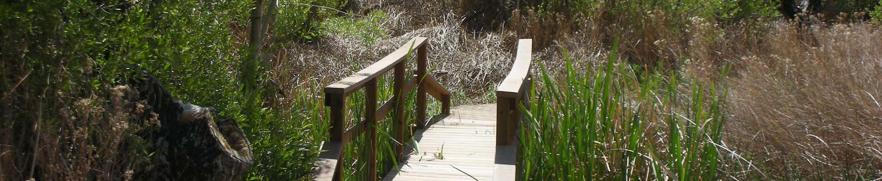
Enjoy an enchanting streamside walk under the canopy of Fremont cottonwoods and red willows. Boardwalks and bridges lead you along the stream that forms the marsh habitat which supports cattails, bulrushes, wire rushes, water cress and yerba mansa. Travel along the base of the Yucca Ridge and relax on the benches of the large octagon-shaped George Helmkamp Deck. Skirt the foot of a desert mountain where scrub oak, Mojave yucca, cacti, Indian paintbrush and boulders painted with lichen hug the drier slopes above. From the comfort of the deck, observe a large outcropping of ancient gneiss that marks the face of the Morongo Valley Fault.
Length: .51 miles/821 meters
Time: 15 minutes
Difficulty: Easy
 The Mesquite Trail branches from the Marsh Trail south of the Education Center at markers 5 and 6 on the Trail Map. Our virtual tour will head south from marker 5 where the trail passes through arrow-weed.


